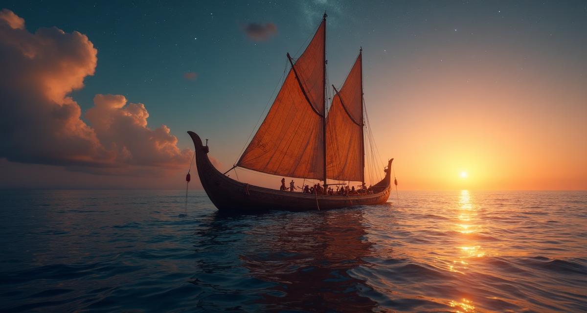
The Polynesians colonized an area spanning 25 million square kilometres of open ocean. The Vikings reached North America 500 years before Columbus. Ancient traders sailed from the Mediterranean to India. All of this was accomplished without compasses, maps, or any technology we would recognize today. How did they do it?
The Polynesian Wayfinders
Polynesian navigation is perhaps the most remarkable achievement in the history of exploration. Starting around 1500 BCE, these master sailors colonized nearly every habitable island in the Pacific, from Hawaii to New Zealand, using techniques passed down orally through generations.
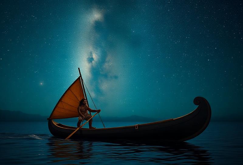
Polynesian navigators, called wayfinders, memorized star paths—the points on the horizon where stars rise and set. They recognized over 200 stars and understood how their positions shifted with latitude. When clouds obscured the sky, they read the ocean itself: the direction of swells, the patterns of waves reflecting off distant islands, and the colour of the water.
Reading Nature's Signs
Ancient navigators were keen observers of the natural world. Birds were particularly valuable guides. Certain species fly out to sea in the morning and return to land at night. Following frigatebirds could lead sailors to distant islands, while the presence of land birds indicated proximity to shore.
Cloud formations told stories too. Clouds often form over islands due to rising warm air, creating visible markers on the horizon. The greenish tint of light reflected from lagoons could be spotted from far away. Even floating debris and changes in water colour provided clues to nearby land.
Viking Secrets: The Sunstone
The Vikings navigated the North Atlantic in conditions where stars were often invisible and magnetic compasses hadn't yet reached Europe. Icelandic sagas mention a mysterious "sunstone" that could locate the sun even on overcast days—a claim that seemed like legend until science proved it plausible.
Certain crystals, particularly Icelandic spar (a type of calcite), can detect the polarization of light scattered in the sky. Even when the sun is behind clouds, the crystal creates different patterns depending on the sun's position. Recent experiments have confirmed that skilled navigators could use this technique to determine the sun's location within a few degrees of accuracy.
The Invention of the Compass
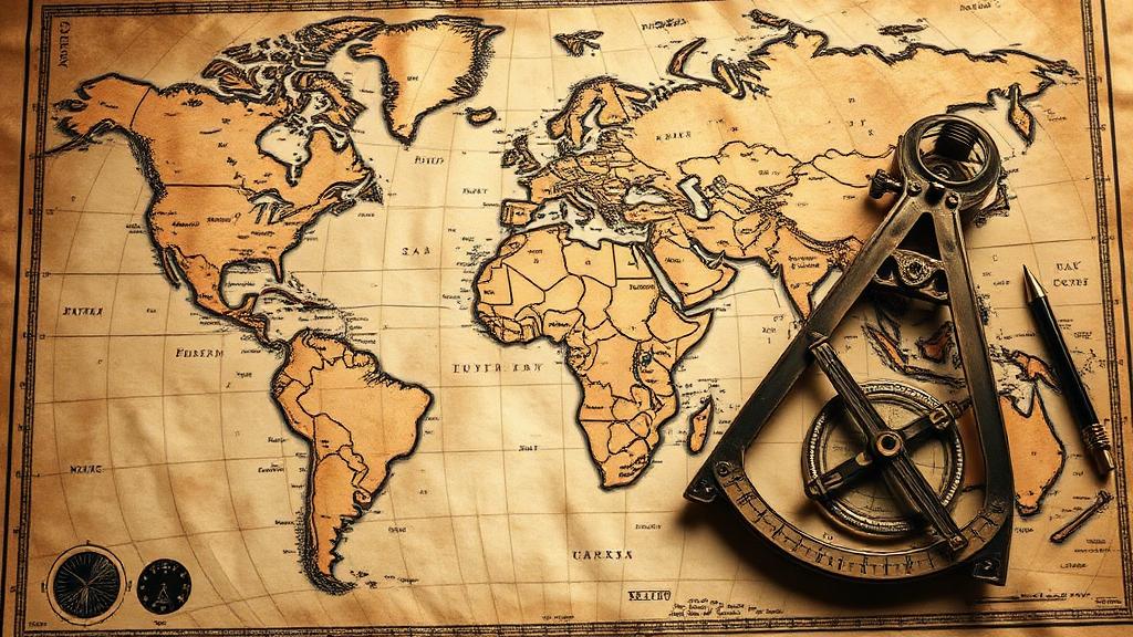
The magnetic compass, invented in China during the Han Dynasty around 200 BCE, initially served for divination and feng shui before sailors recognized its navigational potential. By the 11th century, Chinese navigators were using floating magnetized needles to find direction at sea.
The compass reached Europe via Arab traders by the 12th century and revolutionized maritime travel. Combined with charts and later the sextant, it enabled the Age of Exploration. Yet the compass was an addition to existing techniques, not a replacement—skilled sailors continued to read the natural world alongside their instruments.
The Lost Art Revived
Much of this traditional knowledge nearly disappeared as modern navigation took over. In the 1970s, the Polynesian Voyaging Society built Hōkūleʻa, a traditional double-hulled canoe, and sailed it from Hawaii to Tahiti using only ancient wayfinding techniques. This voyage sparked a cultural renaissance and proved that the old methods were not mere legend.
Today, a new generation is learning these ancient arts. Navigation schools in the Pacific teach wayfinding to young people eager to connect with their heritage. In our age of GPS and satellites, these techniques remind us of what human observation and ingenuity can achieve—and how much we've lost by delegating navigation to machines.